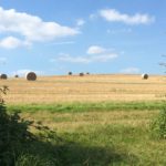
A sunny bank holiday jaunt around this magical part of Kent.
Eynsford station is about 48 minutes out of London Blackfriars on the Sevenoaks line. It sits North of a pocket of hills named Greensand, enclosed by the M25, M26 and M20 and our route South follows the Darent river along the railway line which splits South of Otford to go into Sevenoaks or Maidstone. This is one of my favourite places to go walking in the area and today we extend the route to take in a couple of lovely little towns before the Autumn weather sets in.
We begin at Eynsford station, zipping along the narrow footpaths that lead down into the village. Here we pass the church of St Martin on the right. There’s been a church here since Saxon times and I think there might be a few Norman features left in the current building, if that’s your thing. It also plays a small role in the wider struggle for power between King and church in the Middle Ages. In 1163 William D’Eynsford, the local lord who gave this town its name, fell out with then Archbishop Thomas Becket over who appointed the priest for this church and was excommunicated. William dragged his boss King Henry II into the argument. The following year Becket would have to flee to France following a dispute until the Pope himself told them both to pack it in. Becket returned triumphant, but was murdered a few years later and variously commemorated as a martyr, saint and troublemaker.
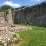
Tangental but interesting. We continue North through the village for a look at William D’Eynsford’s castle (I think there were several Williams but we’ll just gloss over that). It doesn’t look too cosy these days but what remains is looked after by English Heritage, and we take a little wander around the site which is undergoing some work. Apparently this castle fell into ruin and was use as stabling and dog kennels in the 18th Century. We see the outer curtain wall which protected the inner buildings (rather than an boring, unoriginal, dragon-infested moat). This is called an ‘enclosed’ castle and is quite a rare sight. It was built in the 1080s but fell into ruin after 1312s when a bitter would-be inheriter torched the damn thing.
Turning back to the main road we head back into the village and cross the road opposite the church to pass a pony and trap, over a charming ford, and past the Plough Inn on the left. The video shows this area to be a very busy spot for families, but bear in mind this is a sunny Bank Holiday Monday in August so it isn’t always quite so crammed. This is just a lovely spot for feeding the ducks and getting a bite to eat. I’ve dined at the Plough several times and they have a lovely menu. Parts of the pub building date back to the 16th Century, so take a friend with you to the loo lest you be haunted.
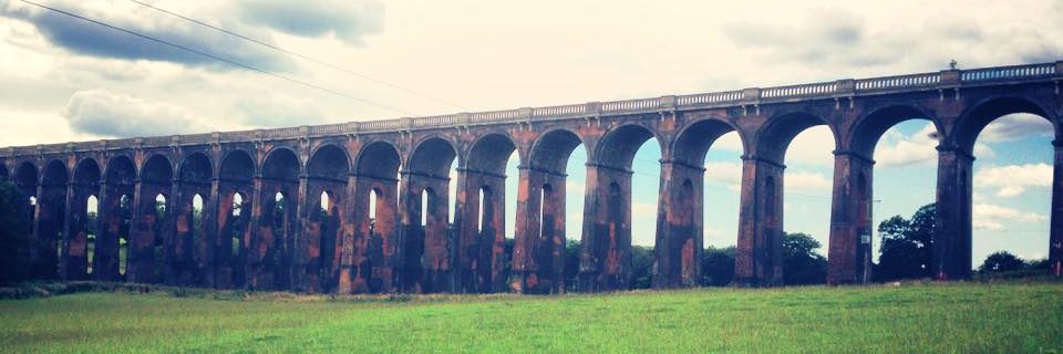
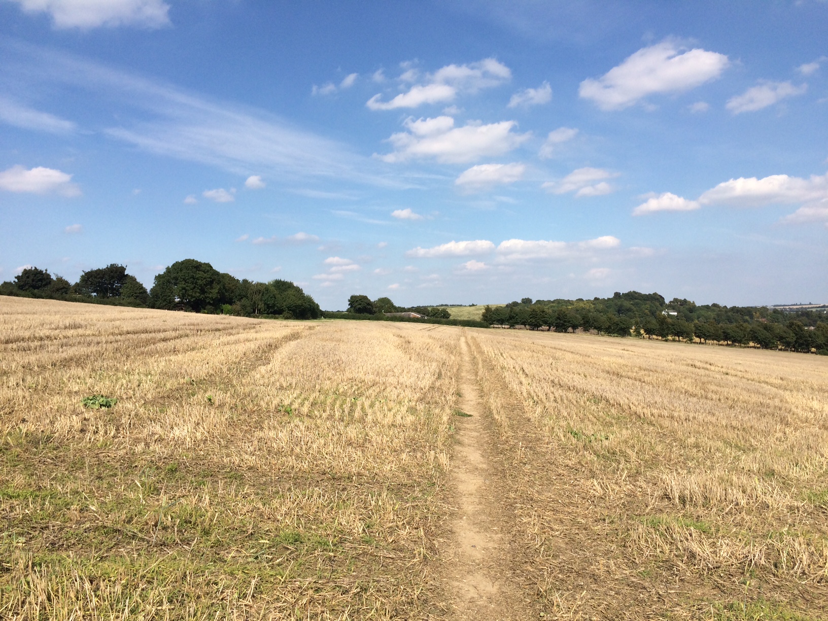
As we follow the road past Sparepenny Lane and onwards round the corner, we break off for a footpath detour. If you have your heart set on getting to the Roman Villa by all means continue on the road here. We’ll come back to that later. A diversion across the fields takes you not only in the direction of Eynsford’s Birds of Prey Centre, but offers some fantastic views across the landscape. You can also cross the railway line and stop to take a good look at the Maidstone Line viaduct from on high. This view can be quite dramatic on a gloomy winter day, and at times I’ve passed through crop that is taller than my eyeline!
After fiddling around with some photographs of poppies and hay bales, we dip back down towards the road and double back on ourselves to take a look at the outside of the Roman Villa.
Lullingstone Roman Villa was turfed up in 1939 and turned out to be on of Britain’s finest Roman Villa excavations. You can still see mosaics in this once opulent crib which boasted it’s own ‘house church’. It’s thought to have been built around AD 100, which makes it almost as old as my running shoes. There’s a car park here if you want to stop off and make a day of it. Further up the road we find Lullingstone Manor House (not quite a castle but sometimes referred to as such). This is in private ownership by the Hart-Dyke family but you can still visit the grounds and explore the World Garden, which was created by it’s current heir to showcase plants from all over the planet. Apparently this plant collector was kidnapped in the jungle and came up with the idea whilst presumably thinking it might never happen. He got away and then put his plans into action. Well done him on both counts. The area was once home to the silk farm that supplied Queen Elizabeth II’s Wedding Dress. They’ve also got their own church (of course) but you won’t get the jokes unless you speak Latin, it’s chosen language for some services. The beautiful red-brick gate house is as striking on a summer’s day as it is upon an early winter sunset.
We return to the river now, recalling that this was supposed to be a gentle countryside run, and follow the crowded Darent Valley Path through some welcome, shady riverbanks. This is the only point where we run directly along the river and can appreciate the pure, clear waters before they meet their end in the filthy Thames at Dartford. Apparently the river Darent nearly dried up in the late 80s when it was realised huge amounts of water were being diverted to new developments, but this was addressed and the wildlife revived. The path and visitor centre now celebrate the wildlife and impact of this once mighty river, which some think pre-dates Roman times and powered many a mill in days gone by.
Our journey through the valley passes lavender fields, a hop shop and various fruit farms which allows Kent to lay claim to its “Garden of England” moniker (although it would appear England is spoilt for choice with gardens).
Joining the next village of Shoreham, we avoid crossing the bridge into the heart of the action, but pass by the river again at the old ford, then by the various pubs on the outskirts of the village. Shoreham has a history of paper-making, the mills again being indebted to the waters of the Darent, but is now home to an aircraft museum. This contains the remains of a German bomber which came down here during the Second World War. Rumour has it the driver was escorted to the pub for a drink before he was dropped off at the police station. Which is a rather nice win for English hospitality. It’s village website proudly claims Shoreham to be the most bombed village in England during this time. You can almost see the Dorniers and Spitfires slicing through the wide Kent skies, Biggin Hill and Kenley airbases not too far too the West of here. There’s plenty of history to be enjoyed in Shoreham. It even gets a mention in the Domesday book. Alternatively you can just turn up on Mayday for their fast-living, hedonistic Duck Race.
I’ve given you so many opt-outs on this route, the final being upon this road out of Shoreham, where the station awaits. But on account of the lovely weather and a friendly-looking horse, we take a left and join the footpath down to Otford, passing through the golf club and cricket ground. Apparently one of the earliest references to cricket was in a game that took place around this area, and you don’t get anything more quintessentially English than that, do you?
This occasionally wooded section brings us out at the top of Otford, where we can scoot downhill, rejoin the road and take a look at part of their Millenium orrery. In this video I manage to track down the planet earth in relation to the other planets as of midnight on January 1st 2000 upon the recreation ground, but some of the other planets are scattered a little further around the village on a scale of 1:5 billion. We impatiently conclude our 6.75 mile route by taking a left onto the main road, passing the roundabout, duck pond and pub in favour of the rather silent station. I later regretted this decision when my train rolled in, broke down and the lot of us had to give up and head South into Sevenoaks in order to get home. Thirsty I was. Ce La Vie! This area has also been inhabited about 3,000 years and has a rich local history. The Pilgrim’s Way passes through it (I mention this because this is the route pilgrim’s took to pay their respects to the aforementioned Thomas Becket of Canterbury) Otford also boasts its own Roman Villa which is much bigger than Lullingstone. I had a quick look at the price of a modern commodious property on the green and this supported my conclusion that this area hasn’t been affordable to live in since Anno got itself Domini’d. Still, at least the footpaths are free.
Enjoy!
AMENITIES
We pass…
The Plough Inn – Eynsford
Ye Olde George Inn – Shoreham
The Woodman pub – Otford
Rail…
Eynsford, Shoreham and Otford via Southeastern (Sevenoaks, London)
Car…
Small car park opposite St. Martin’s in Eynsford
Parking at Lullingstone Roman Villa
Parking at Lullingstone castle with overflow
Parking at Lullingstone country park
Also at Shoreham and Otford stations and central Otford.
