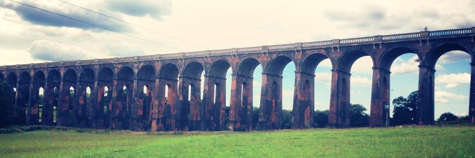


This 2 mile walk allows a glimpse of the wooded surroundings and infinite bridleways in this Buckinghamshire part of the Chiltern Hills. Prepare for gradients, horse poo, a windmill and some extremely pretty villages. You can extend this route to turn it into a rather nice pub crawl, and it’s only 5 miles North of Henley-on-Thames, where the most civilised of civilisation abounds.
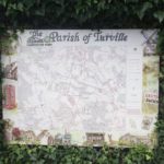
We start our route down Gray’s Lane in Ibstone. This is just South of the main common where there had been a marquee and barn dance the night before. We didn’t attend but our bnb hosts took their daughter and informed us the marquee would be used again that weekend for their annual village show. The local gentry is dominated by the Gettys, who own the Wormsley Estate, the heart of which sits just North West of the village. They have there a cricket ground, opera and manor house, the lucky sausages. Local life here is clearly buzzing. There is 300 year-old inn (The Fox), but there isn’t a shop until Stokenchurch, which is quite a hike. The pubs that were recommended to us were those in Turville, Skirmett and Fingest. This route has been marked out on the map below, should you want to a) do a fabulous pub crawl or b) run around all three and take a look.
Ibstone sits on the boundary of Buckingshire and Oxfordshire, hence its name is drawn from the Anglo Saxon Hibestanes for Hibba’s (boundary) stone. I was struck by the remoteness of our stay there. Just an hour’s drive from London, and ten minutes off the M40, there was no sound of the road, no phone signal and no 3G down our lane. Just the sound of sheep, birds and quite notably Red Kites; many, many Red Kites to soundtrack my reading time. It was an instant escape from the bustle I’m tempted to repeat on the regs.
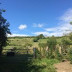
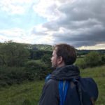
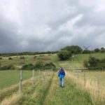
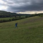
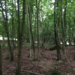
Our route is incredibly simple and the bridleways themselves are marked by helpful white direction arrows painted upon the trees. Yet in conscientiously taking an OS map along (which I never normally do!) I still manage to take a wrong turn, which I have made obvious on the video.
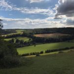
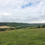
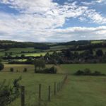
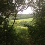
Following Gray’s Lane to its end, we enter the Wormsley Estate woodlands and take the bridleway on the left, following this all the way along the boundary. It is a very comfortable downhill route, with glimpses of the valley and farmland towards Northend as you descend.
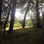
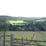
Eventually this path flattens out and snakes around the edge of the barn and stables into Turville wood, which should be pretty straightforward. But apparently isn’t. When the footpath forks and we are faced with the option of Turville (our destination) versus Turville Heath (not our destination) we do indeed make the correct decision. Almost immediately though, we take the left fork when we need to take the right. The benefit of this is that we end up looping round to the end of the field across from the stables, and whilst pausing to check our map glimpse Ibstone’s St. Nicholas Church standing tall on the hill.
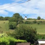
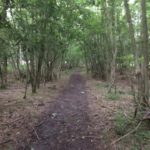
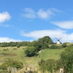
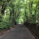
Correcting our route and taking the right fork through Turville wood, it’s then just a case of following the path parallel to the sunken road and joining it upon the entrance to Turville. From here it is possible to get a first glimpse of Cobstone Windmill, also sometimes known as Ibstone Windmill and Turville Windmill. Apparently everyone wants a piece of it.
There was a mill on this site in the 16th Century, but the current structure was build in the 19th Century. It was restored again in the 20th Century and featured as Mr Potts’ workshop in the 1967 movie Chitty Chitty Bang Bang. It’s in private possession now but the picturesque building has featured in lots of TV programmes and films, including Midsomer Murders, Jonathan Creek, Goodnight Mr Tom and.. um… Bride and Prejudice.
You might recognise Turville and its church from the outdoors scenes of the Vicar of Dibley. The village became a bit of a tourist attraction in the 1870s when an 11 year-old girl fell asleep for 9 years, only to wake up and live a perfectly healthy life beyond that. During her sleep, the family of poor farm workers charged money for visitors to come and take a look-see.
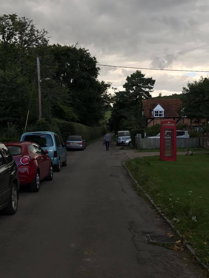
The name Turville comes from the Anglo Saxon word for Dry Field. It wasn’t particularly dry this day, although we did catch some afternoon sun and a cider in the Bull and Butcher Pub where this video ends.
If you’d like to extend your route, the map covers the paths down to the Hamlet of Skirmett and round through Fingest. The name Fingest is thought to come from Anglo Saxon ‘Thinghurst’ meaning ‘wooded hill where assemblies are made’. Nothing if not prosaic. Fingest has a good dose of ghostly folklore, and is said to be haunted by The Green Man – the guise of a deceased 14th Century bishop – and a woman and priest-like figure in robes up Chequers Lane.
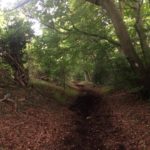
Here’s a snap of the route out of Fingest in the rain as we climbed back towards Turville and Ibstone along Chequers Lane. No ghosts spotted, sadly.
AMENITIES
Nearest Major Road: M40
Train Stations: High Wycombe (5 miles) Henley on Thames (5 miles), Saunderton (3 miles).
Buses: Red Eagle out of High Wycombe
Stokenchurch: Tesco Express, pubs and train station
Ibstone: The Fox Inn
Turville: The Bull & Butcher (Brakspear Pub)
Skirmett: The Frog
Fingest: The Chequers Inn (Brakspear Pub)